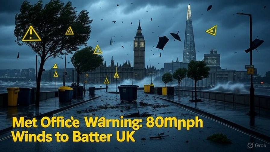
The Met Office issues a yellow weather warning for wind affecting large parts of the UK from 8pm on Sunday, September 14, 2025, until 6pm on Monday, September 15, 2025.
Gusts could reach 50-60mph around coasts and hills, with 70-80mph in exposed spots, especially Monday morning.
The alert covers London and South East England, North West England, South West England, and Wales, bringing risks of travel delays, power cuts, and flying debris.
This comes during a busy bank holiday weekend, urging people to prepare as of 10:45 AM IST today, Friday, September 12, 2025.
Warning Details and Affected Areas
The yellow warning highlights strong, gusty winds from a deepening low-pressure system over the North Atlantic.
Winds start in southwest England and Wales Sunday evening, spreading inland Monday morning and moving east.
Chief meteorologist Paul Gundersen says, “We monitor this system closely—it might bring impactful weather, most likely Sunday and Monday, though a named storm is unlikely now.”
Expect blustery showers, possible thunderstorms Sunday into Monday, and cooler highs of 17-18°C in London.
Areas like Burnham-on-Sea in Somerset face high winds, with local disruptions to coastal routes and sea fronts from spray and waves.
The South West, including coastal communities, sees the strongest gusts, while inland spots get 40-50mph.
Northern Scotland stays mostly clear, but the rest of the UK braces for effects.
Potential Impacts and Risks
Strong winds risk delays to road, rail, air, and ferry travel, with some roads and bridges closing.
Power cuts could hit, affecting mobile coverage and services.
Flying debris poses a small chance of injury or danger to life, especially near coasts.
Communities may see interruptions to daily life, like school closures or event cancellations during the bank holiday.
Forecasters advise checking weather updates, securing outdoor items like bins, garden furniture, trampolines, tents, sheds, and fences.
Plan travel early, monitor road conditions, and avoid exposed areas.
In Wales and the South West, drivers should pull over safely if needed, as winds could make handling tough.
Background and Recent Weather
This follows unsettled September weather, with earlier rain warnings in South Wales and southwest England.
The Met Office notes low-pressure systems bring changeable conditions, with sunny spells mixed with showers.
No red warnings yet, but yellow signals be prepared.
Past storms like Darragh in December 2024 caused similar chaos, highlighting the need for readiness.
Public Reactions on X
Social media shows concern and preparation tips.
One user posted, “Met Office yellow wind warning for UK weekend—80mph gusts incoming! Secure your stuff.”
Another shared, “UK battered with wind and rain this weekend—Met Office alert for September 14-15”, reflecting widespread awareness.
What to Do Next
Stay weather-aware via Met Office apps or gov.uk. If in affected areas, follow local alerts.
This warning reminds us of climate impacts, with more unsettled weather possible mid-week.
Stay safe and tuned for updates!